On the morning of August 16, many areas in Ho Chi Minh City continued to have widespread rain.
By noon of the same day, convective clouds existed and developed strongly in the areas of Tan Hung, Tuyen Binh (Tay Ninh); Trang Dai, Gia Kiem, Xuan Dong, An Vien, Xuan Duong (Dong Nai), Long Phuoc, Nhon Phu, Hoa Loi, Binh Duong, Xuan Son (HCMC), the south of Lam Dong province.
In the next 4 hours, these convective cloud pockets will continue to cause showers and thunderstorms in the above area, then may expand to neighboring areas. During thunderstorms, there is a possibility of tornadoes, lightning, hail and strong gusts of wind, flash floods on small rivers and streams, landslides on steep slopes.
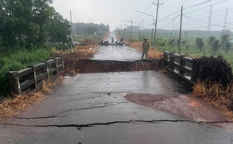
It is forecasted that in the next 24 to 48 hours, Ho Chi Minh City and neighboring provinces and cities will have moderate rain, heavy rain, locally very heavy rain. Total rainfall is generally 50-100 mm, in some places over 100 mm.
The cause of this rain is due to the strong low pressure trough with an axis passing through the Central region, combined with the disturbance area forming on the trough. This disturbance area is likely to develop into a tropical depression. In addition, the intensified southwest monsoon, in accommodation with high-altitude wind convergence, has caused instability in the atmosphere and led to heavy rain.
The heavy rain is likely to last until August 17 in the Ho Chi Minh City area. The total rainfall for the entire period is generally 100-200 mm, in some places over 220 mm.