Hurricane Henriette, which formed on August 4, is moving west-northwest across the eastern sea of the Pacific Ocean.
According to the latest hurricane report from the US National Hurricane Center (NHC) on August 8, Henriette maintained maximum sustained winds of 72 km/h, with stronger gusts.
Although it is moving into colder waters - which often causes storms to weaken - Henriette is showing "disregard". Forecast models such as GFS and ECMWF all show that this storm is likely to maintain a stable structure thanks to favorable upper-level wind conditions, and may even strengthen again over the weekend and early next week if it passes the cold water area.
The NHC said: Despite unfavorable thermodynamic conditions, the Henriette's circulation structure is still durable. If it can get past the cold water, the storm could strengthen again.
Henriette is forecast to deviate to the northeast of the Hawaiian Islands on August 10 and 11, bringing a second large wave to the southern coasts.
The remnants of Hurricane Gil have prompted the National Weather Service to issue a High Surf Warning for the entire southern coast of Hawaii, although the warning expired on the evening of August 5. Henriette is currently following a nearly identical trajectory to Gil.
In addition to the wave effect, Henriette can also cause a mixed weather phenomenon between sea winds and trade winds, according to the National Weather Service in Honolulu.
Not only Henriette, the Pacific Ocean has also seen another storm that has just emerged - Tropical Storm Ivo. The storm formed on August 6, less than 320km from the coast of Mexico.
As of the morning of August 8, Ivo has reached tropical storm strength with maximum winds similar to Henriette, but the concern is the possibility of rapid strengthening. The NHC warned that Ivo could become a hurricane later this week, as it moves west-northwest as it moves far from the shore.
Although it will not make landfall directly, Ivo is still forecast to bring heavy rain, strong gusts of wind and strong waves along the coastal waters of Mexico in the next few days.
The consecutive occurrence of storms Henriette, Gil and Ivo shows that this year's hurricane season in the East Pacific is developing faster and more unpredictably than the average of many years. The formation and operation of three storms in less than two weeks have prompted meteorologists to warn of an unusual storm season with a high risk of high waves, heavy rain and a widespread impact from Mexico to Hawaii.
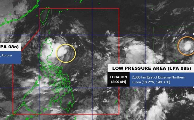
Meanwhile, in the East Sea, according to the Vietnam National Center for Hydro-Meteorological Forecasting, in the early morning of August 8, the low pressure area in the North East Sea area strengthened into a tropical depression.
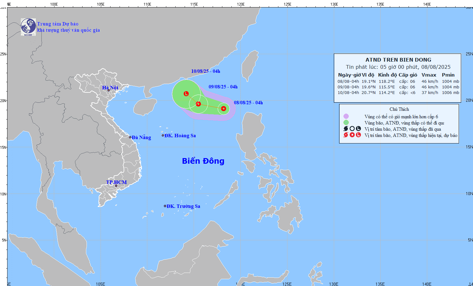
The center of the tropical depression at 4:00 a.m. on August 8 was at 19.1 degrees North latitude; 118.2 degrees East longitude, in the eastern sea of the North East Sea.
Intensity: level 6 (39-49km/h), gust level 8. Direction and speed of movement: West Northwest, speed about 10-15km/h.