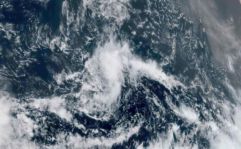
The latest hurricane information on September 6 from the US National Hurricane Center said that Hurricane Kiko has strengthened back to a Category 4 hurricane and is on its way to Hawaii, USA.
Hurricane Kiko has maximum sustained winds of up to 215 km/h and forecasters at the National Hurricane Center based in Miami said the storm could continue to strengthen in the next few hours.
The storm is currently about 1,925 km east-southeast of Hilo, Hawaii. Kiko is expected to affect the state next week.
The storm is moving west-northwest at a speed of 17 km/h. Some Hawaiian islands could see life-threatening high waves and upstream by early next week.
Other impacts of Kiko are possible, but forecasters say it is too early to know the exact location or intensity. Hawaii residents are advised to monitor the storm's developments.
Storms in the eastern Pacific basin are classified according to the Saffir-Simpson hurricane wind scale, which classifies storms as Category 1 to Category 5. Storms of Category 3 or higher are considered major storms.
Kiko had previously reached Category 4 strength on September 3.
It is forecasted that after upgrading back to level 4, by the end of September 6, Hurricane Kiko will gradually weaken.
Meanwhile, Lorena in the eastern Pacific basin has weakened. The system has maximum sustained winds of 56 km/h and is stationary about 274 km west of Cabo San Lazaro, Mexico.
The weather forecast agency said Lorena is expected to weaken further and dissipate on September 7. However, the system could continue to bring rain to parts of Mexico's Baja California Sur, Baja California, Sonora and Sinaloa states. The risk of flash floods and landslides in these areas is expected to remain in the next few hours.
In the US states of Arizona and New Mexico, heavy rains are still possible and could lead to localized flash flooding through September 6.


