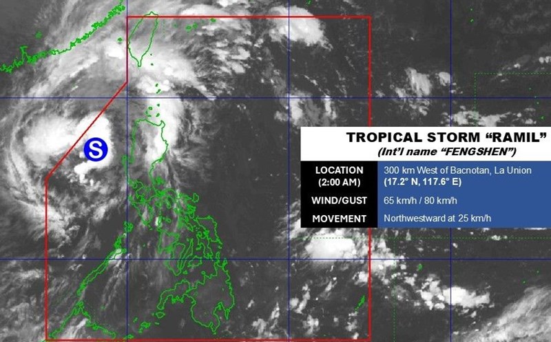
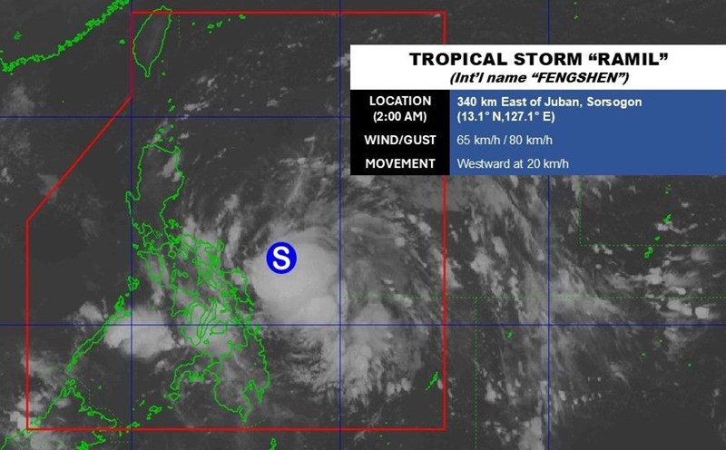
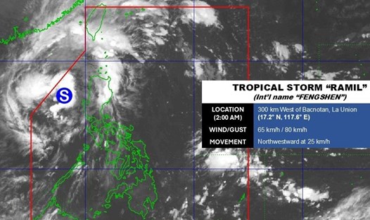
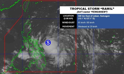
The three main ports of Hai khou city, Hainan province (China) including Xinhai, Xiuying and the southern railway port have been temporarily suspended from the evening of October 20, when storm No. 12 Fengshen intensified into a strong tropical storm. According to the Hainan Meteorological Center, the storm will move northeast at a speed of 20-25 km/h and continue to strengthen before changing direction to the Southwest, towards the central coast of Vietnam.
In Guangdong Province (China), the authorities have activated a storm emergency response since the morning of October 20, requiring all fishing vessels to return to shore, evacuate people from aquaculture areas and ban all tourism and fishing activities at sea.
The latest storm news said that in the next 72 hours, Typhoon No. 12 Fengshen will cause heavy rain and strong winds in the East and North of Taiwan (China), coastal areas of Fujian, Guangdong, Hainan and northern East Sea. From 8:00 a.m. on October 21 to 8:00 a.m. on October 22, the northern part of Taiwan (China) is expected to have 100-200mm of rain, some places may exceed the very heavy rain threshold.
In addition, the cold air will increase to Central and East China, causing temperatures to drop to 4-6 degrees Celsius, some places will reach 8 degrees Celsius. Due to the simultaneous impact of cold air and storm No. 12 Fengshen, the southern part of the East China Sea, the Taiwan Strait (China) and the Central - North East Sea may experience strong winds of 102 km/h, gusting up to 133 km/h.
Typhoon Fengshen made landfall in the Philippines over the weekend, killing at least eight people and displacing 27,000 in Albay province. The storm caused showers, landslides and coastal water rising up to 2m in the Gubat area, Luzon Island.
The storm forecast bulletin of the Vietnam National Center for Hydro-Meteorological Forecasting said that at 4:00 a.m. on October 21, the center of storm No. 12 was at about 18.3 degrees North latitude, 113.0 degrees East longitude, about 200km North-Northeast of Hoang Sa Special Zone. The strongest wind is level 9-10 (75-102 km/h), gusting to level 12.
At 4:00 a.m. on October 22: The storm moved in the West Southwest direction, 10-15 km/h, located in the Northwest of Hoang Sa, level 9-10, gusting to level 12.
By 4:00 a.m. on October 23: The storm moves southwest, 10 km/h, in the coastal waters of Hue - Quang Ngai, gradually weakening into a tropical depression, level 6, gusting to level 8.
At 4:00 a.m. on October 24: The storm moved southwest, 10 km/h, into Southern Laos, continuing to weaken into a low pressure area (under level6).
Impact forecast:
North East Sea (including Hoang Sa): Wind level 7-8, near the storm center level 9-11, gusts of level2; waves 3.0-5.0 m high, storm center 5.0-5.0 m, rough seas.
South Quang Tri - Quang Ngai (including Ly Son): Wind level 6, from the morning of October 22, increased to level 7, near the storm center level 8, gust level 10; waves 3.0-5.0m high, rough seas.
Ship in the danger zone may be affected by thunderstorms, whirlwinds, strong winds, and large waves.
On land:
From the night of October 22 to October 26, due to the storm circulation combining cold air and East wind, the Ha Tinh - Quang Ngai area will have widespread heavy rain:
Ha Tinh - Bac Quang Tri & Quang Ngai: 200-400mm, locally over 500mm.
Nam Quang Tri - Da Nang: 500-700mm, locally over 900mm.
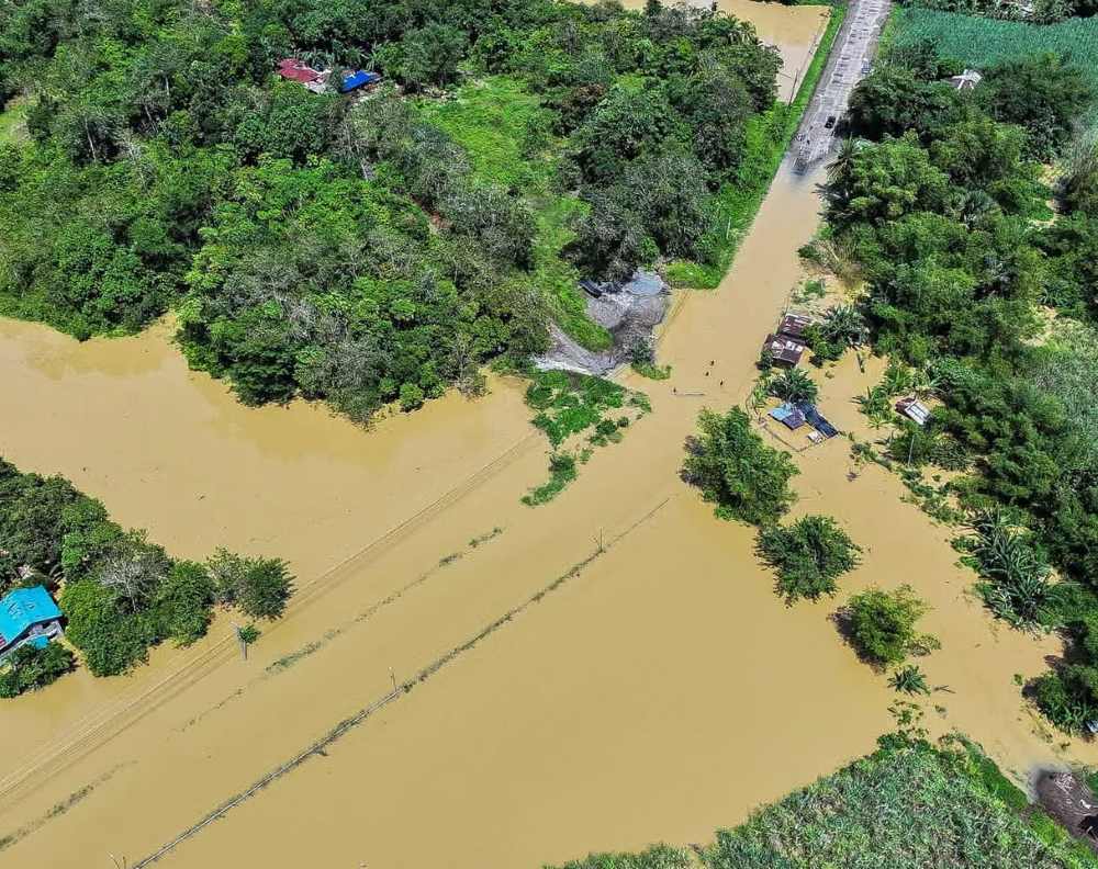
Heavy rain will last until the end of October 2025, with the risk of flash floods, landslides in mountainous areas, and flooding in low-lying areas and urban areas.

