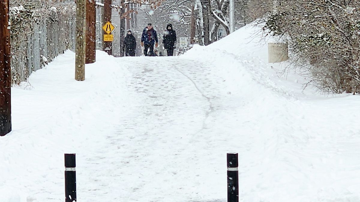
On December 3, a winter storm swept across the northeastern United States, bringing nearly 30 inches of snow to parts of New York and southern Maine.
Although the storm is forecast to not reach the bomb cyclone threshold a phenomenon of a sudden storm intensification with an atmospheric pressure reduction of at least 24 milbars in 24 hours, it still causes widespread weather disruption.
According to meteorologist Alan Gerard, Director of Balanced Weather, this is the first attack of the winter storm as a low pressure area from the Midwest moves across Ohio and the southern United States in many days.
This low has triggered a second low pressure center that forms off the central Atlantic coast. The center of this offshore low pressure is rapidly intensifying as it moves north towards Cape Cod.
Ashton Robinson Cook, a senior fellow at the National Oceanic and Atmospheric Administration (NOAA) Weather Forecast Center, said the early winter storm was just a little bit short of the bomb and storm criteria.
Although it has not yet reached the bomb threshold, the system is still strong enough to attract gusts of wind and heavy snowfall in New England. However, it does keep a warmer air mass near the most populous area of the East Coast, leaving Boston, New York and Washington, D.C. to only experience cold or light snowfall, rather than snowstorms.
The heaviest snowfall - about 20 to 30cm - is forecast to fall in southern New England and inland areas of New York state.
NOAA forecasts that most of the snow will dissipate from December 5, but new cold front will continue to sweep across the central and eastern United States through the weekend. Mr Gerard predicted that the cold weather could last all of December.
Before this storm, meteorologists recorded a sudden increase in temperature in the binhlar atmosphere of the Arctic - a type of atmospheric fluctuation that weakens the polarvortex, which is responsible for keeping the cold air flow around the Arctic.
When the tropical cyclone weakens, cold air may flow south, increasing unusual cold spells.
Mr Gerard warned that a second "shake" of the cucistic cyclone could appear in the next few weeks, continuing to disrupt the early winter weather in the Northern Hemisphere.


