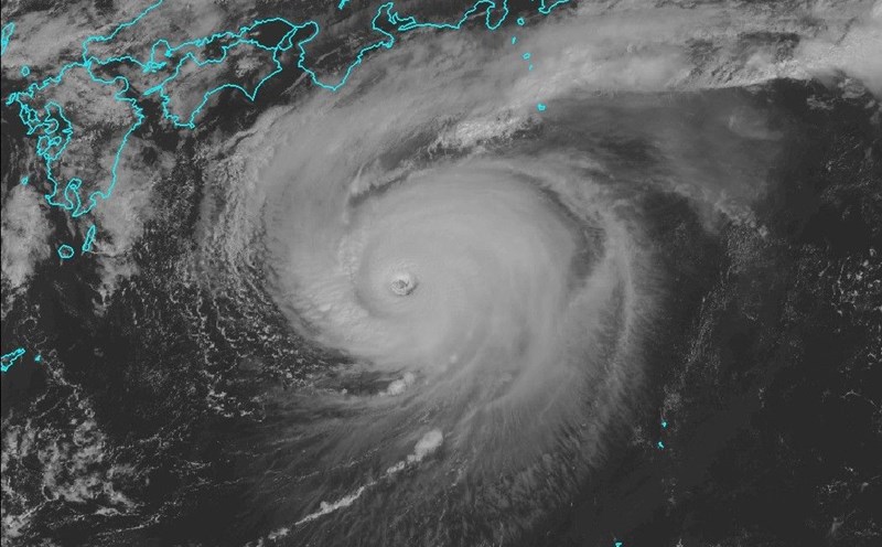
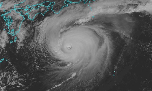
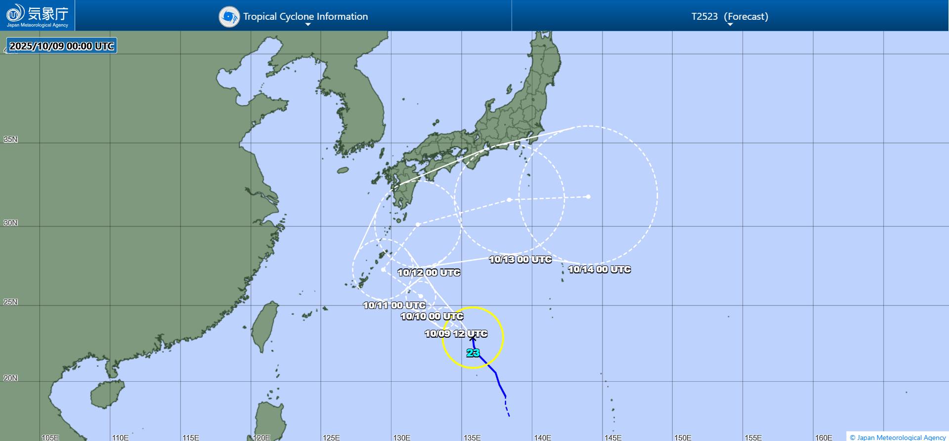
On the morning of October 9, Typhoon Ha Long made landfall in the Izu Islands, south of Tokyo, causing heavy rain, strong winds and dangerous high waves. The Japan Meteorological Agency (JMA) issued a special warning for heavy rain, gusts of wind and the risk of flash floods and landslides over a wide area.
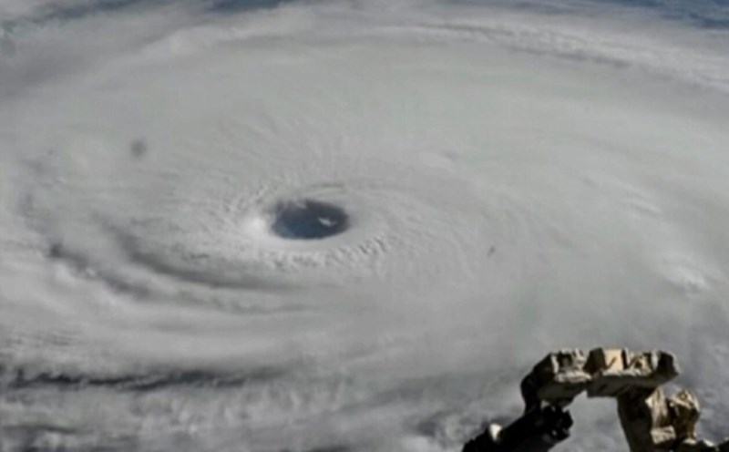
On Hachijo Island, rainfall for 3 hours reached 207mm, the highest level ever recorded, forcing hundreds of people to evacuate to shelters. Maximum sustained winds near the center of the storm are 162 km/h, gusting up to 234 km/h. The center pressure of the storm is 950 hPa, showing the strength of a super typhoon on the Safir-Simpson hurricane scale.
The islands of Aogashima, Toshima, Niijima, Kozushima, Miyakejima and Mikurajima also suffered strong winds and thunderstorms, disrupting air and sea traffic and risking widespread power outages. The Japanese Coast Guard has asked ships to stay away from the center of the storm, while many flights and ferries to Izu have been canceled.
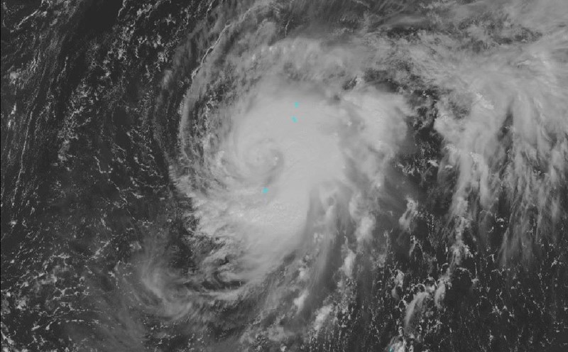
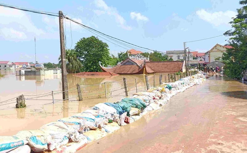
Although Typhoon Ha Long is expected to move to the eastern Pacific by the end of October 10, avoiding direct collisions with mainland Japan, the consequences it will leave are assessed to be serious and prolonged. The JMA warned that the formation of linear rain bands narrow but extremely heavy rain areas could cause flooding to increase rapidly in a few hours.
Notably, international storm forecasters warn that the circulation of Ha Long could impact the transocatic chain, forming an unusually strong atmospheric system in North America.
The remaining energy and moisture from Ha Long will join thejet stream as it moves east, then impact Alaska over the weekend, and push the cold front down to Washington, Oregon and California early next week, according to the US Climate Prediction Center.
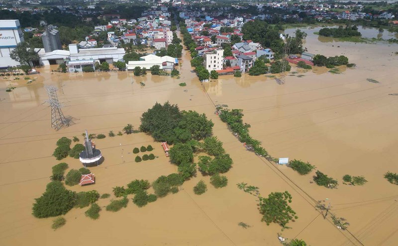
As a result, Western Alaska could see severe flooding, with California likely to see several days of heavy rain, and an unseasonal forecast in the Sierra Nevada, where several meters of snow could appear. The San Francisco Bay area is expected to see the heaviest rainfall since last winter, while Tahoe Lake could be covered in ice and snow.
This atmospheric teleconnection phenomenon shows that the energy of a super typhoon in the West Pacific could amplify the weather in the other half of the planet, causing Japan and the US to be affected in the same rare global typhoon system.