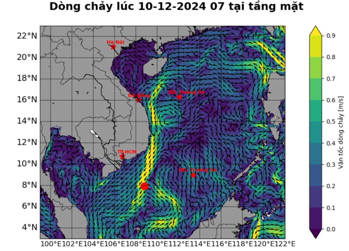
The Joint Typhoon Forecast Center (JTWC) said that Low Pressure A off the east coast of Vietnam is producing widespread showers and thunderstorms. Upper winds are rapidly becoming unfavorable for further development of the low pressure area and the low pressure area will soon move inland across southern and central Vietnam, but is not expected to strengthen into a typhoon.
However, the low pressure area is likely to bring areas of very heavy rain over parts of Vietnam, Laos, Cambodia and Thailand over the next few days. This rainfall has the potential to cause widespread flooding.
Meanwhile, another low pressure area off the northwest coast of Borneo bordering the South China Sea is producing a large area of disorganized showers and thunderstorms.
Upper-level winds are not favorable for development and little, if any, development is expected before the system moves out of the Western Pacific basin on November 13. Thereafter, the system may develop slowly as it moves into the Andaman Sea.
The system is likely to produce areas of heavy rainfall over parts of Malaysia, Brunei and Indonesia over the next few days. The JTWC assesses a 20% chance of strengthening over the next 7 days.
In addition, Low Pressure C, located just east of the Marshall Islands, is producing a large area of unorganized showers and thunderstorms. This low is forecast to move very quickly westward across the basin over the next few days.
By November 15, environmental conditions are expected to be favorable for development, and a tropical depression may form on November 15 or 16 as the system slows and turns northwest toward Palau and Yap State of the Federated States of Micronesia. The JTWC assesses a 50 percent chance of the depression intensifying over the next 7 days.
Meanwhile, on December 11, the weather forecast of the Vietnam National Center for Hydro-Meteorological Forecasting said that during the day and night of December 11, the central and southern East Sea (including the Truong Sa archipelago), the sea from Quang Tri to Ca Mau, from Ca Mau to Kien Giang will have showers and strong thunderstorms. During the thunderstorms, there is a possibility of tornadoes and strong gusts of wind of level 7-8.

From December 11 to the night of December 12, in the area from Thua Thien Hue to Ninh Thuan, there will be moderate rain, heavy rain, locally very heavy rain and thunderstorms with common rainfall from 60-150mm, locally over 300mm.
Regarding the cold air forecast, around noon and afternoon of December 11, the new cold air will affect the northeastern provinces, then affect the North Central region and some places in the northwest.
From the afternoon and night of December 11, the weather in the Northern region will turn cold, with some mountainous areas experiencing severe cold; from the afternoon and night of December 12, the weather in the North Central region will turn cold. The lowest temperature during this cold spell in the North will generally be from 14-17 degrees Celsius, in mountainous areas 11-14 degrees Celsius, and in high mountainous areas below 10 degrees Celsius; in the North Central region, it will generally be from 16-19 degrees Celsius.
In Hanoi, there will be light rain during the day and night of December 11; from the afternoon of December 11, the weather will turn cold. The lowest temperature in this cold air mass is commonly 15-17 degrees.


