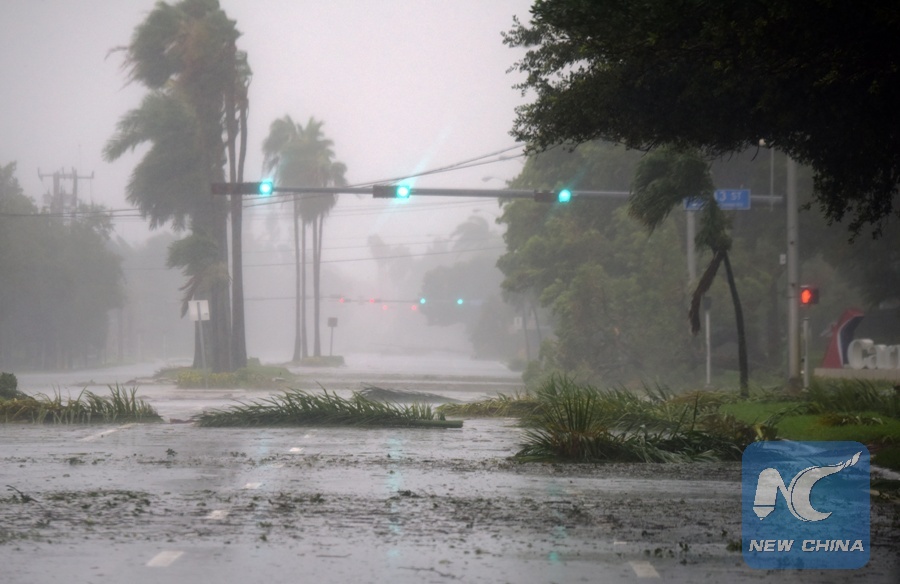
One of the key hurricane forecasts - forecast from Colorado State University, USA, is expected to be released later this week. Previously, the Washington Post analyzed four key signals for the season, which began on June 1.
Sea water temperature in storm-forming areas
From August to October, initial factors of the storm move from Africa into a vast warm ocean area in the tropical Atlantic, known as the Major Development Area (MDR). The higher the temperature, the more energy and moisture the storm forms and strengthens. MDR is currently cooler than at this time in 2024, but overall it is still unusually warm. March this year is the 8th warmest month on record.
Ocean temperatures in the tropical Pacific
El Nino and La Nina play an important role in determining the intensity of the storm season. La Nina, which is likely to promote storm formation, has weakened in recent months. The tropical Pacific Ocean is currently transitioning to a neutral ENSO state. Neutral conditions are likely to prevail as the hurricane season begins.
Neutral years may still see strong storms in the Atlantic. Therefore, if there is no clear warm-warm trend due to El Nino in the Pacific Ocean in the coming months, the impact of this factor on the 2025 Atlantic hurricane season will not be too much, said hurricane expert Michael Lowry of Local 10 News in Miami.

heat waves in the Caribbean Sea
Sea levels in the Caribbean and western Gulf of Mexico are above average at this time of year, enough to be considered a heat wave at sea.
These unusual temperatures could provide added moisture and fuel for storms and tropical depressions. Last year, Hurricanes Helene and Milton received energy from the ocean affected by a heat wave. Both super typhoons broke records in humidity, causing extremely heavy rain.
West African monsoon
From June to September, heavy rains and thunderstorms are typical in the Sahel region of West Africa. The activity level of the African monsoon helps determine the number of storms that can move into the Atlantic.
According to weather forecasters, initial signs suggest that this year's monsoon will be more active than usual.
The Washington Post's hurricane forecasters note that it is impossible to accurately predict the time or location of a tropical storm or hurricane for weeks or months. However, experts can make an overview of the storm season's developments by comparing current weather conditions with forecast models and developments in previous storm seasons.
Current major forecast factors show that the 2025 Atlantic hurricane season could see an above-average number of storms, but the characteristics that cause severe storms like the 2024 hurricane season are fading away.
The average Atlantic hurricane season has 14 named storms, 7 hurricanes, and 3 major hurricanes (Class 3 or higher).


