Currently, the water level of the Red River passing through Phu Tho province is low, according to the short-term hydrological forecast and warning bulletin No. 47 dated February 16 of the National Center for Hydro-Meteorological Forecasting, the actual water level of the Thao River (Red River) measured at Phu Tho station at 7:00 a.m. on February 16 was 10.70 m.
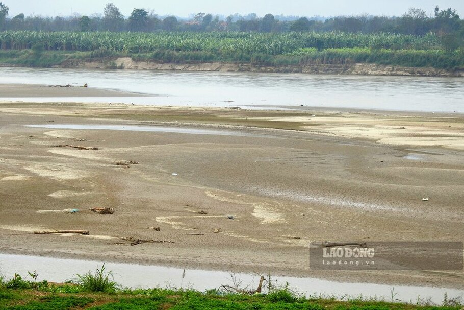
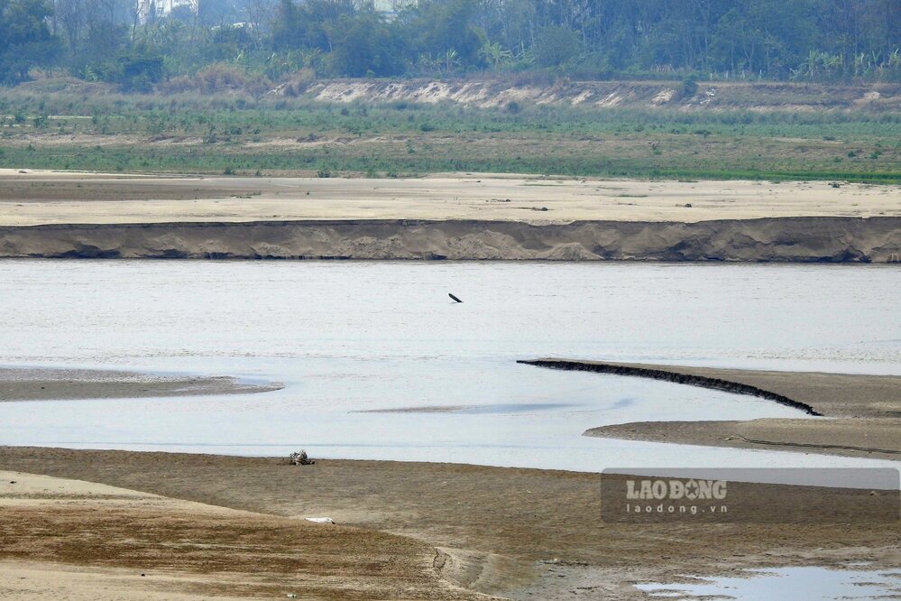
Traveling along the Red River through Phu Tho province in mid-February, Lao Dong Newspaper reporters easily recorded large sand dunes and alluvial plains stretching for kilometers when the river water level dropped.
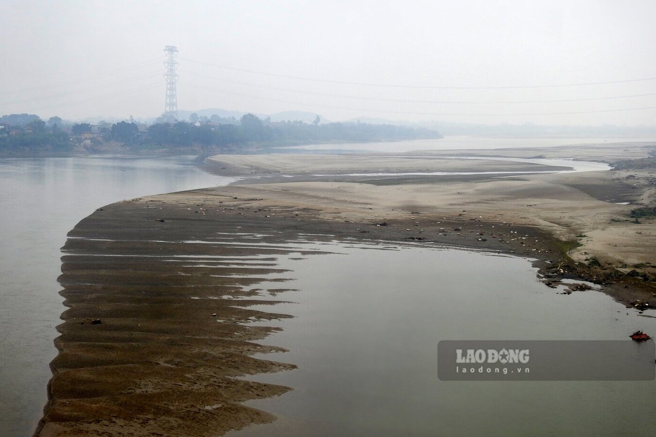
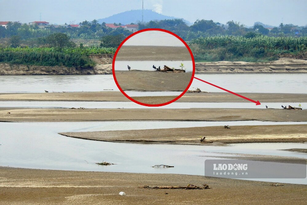
In particular, in the river section passing through Ha Thach commune, Phu Tho town and Hien Quan commune, Tam Nong district, large sand dunes appeared encroaching on many areas of the river flow, at first glance it was as if they could walk across the river.
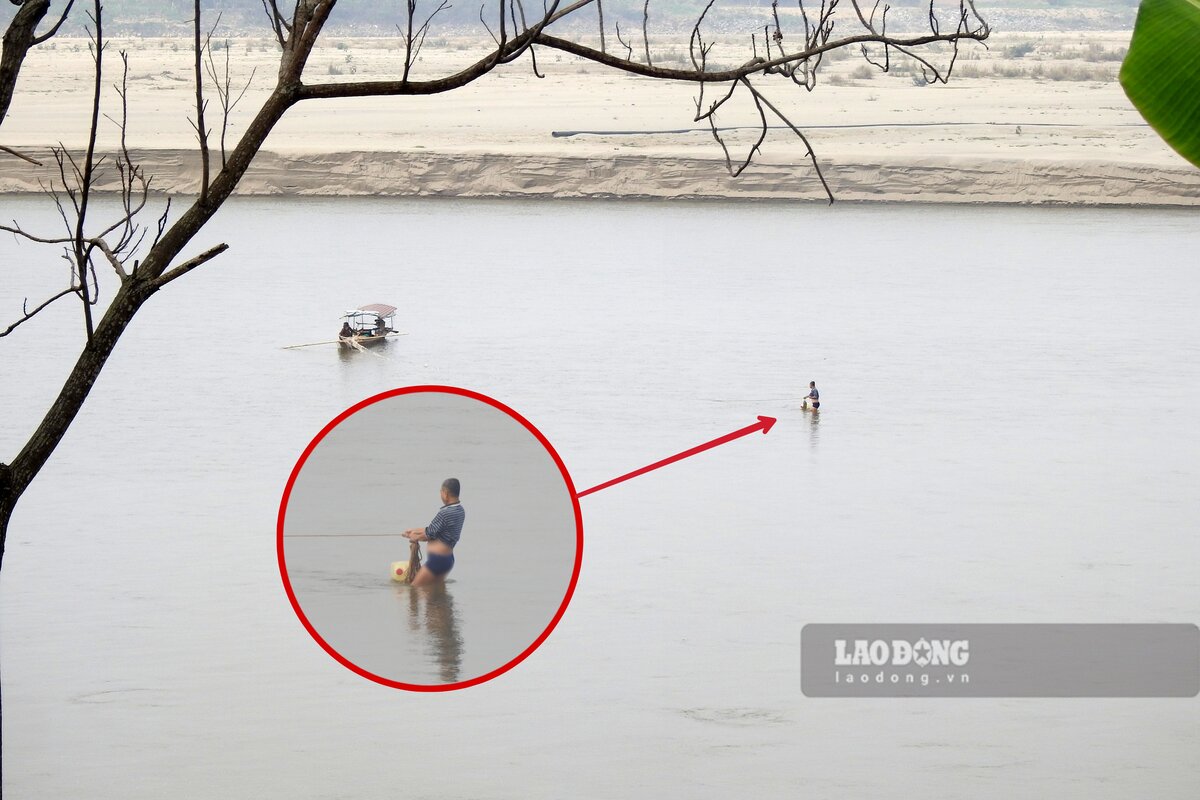
At the river section passing through Lam Thao town, Lam Thao district, the reporter caught a number of people standing in the middle of the river to cast nets to catch fish. It can be seen that, even in the middle of the river, the water level at this section is not yet up to the belly of an adult.
Not only that, traveling along the Red River through some districts and towns of Phu Tho province at the present time, it is not difficult to record the image of "honest fishermen" despite the danger, passionately standing on sandbanks in the middle of the river to fish.
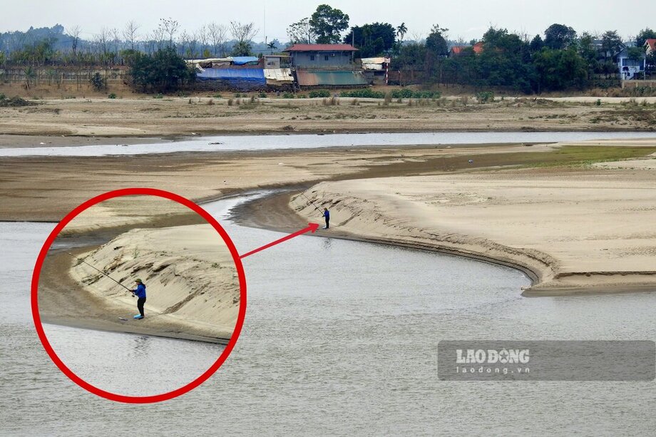
Although the water is low, going into the river without a life jacket or any protective equipment as in the above cases poses a potential risk of drowning, even if people know how to swim. Because the young alluvial plains and the Red Riverbed are rich in sand and silt, the foundation is weak, there are many dangerous deep holes, prone to landslides and subsidence...
According to the National Center for Hydro-Meteorological Forecasting's moderate water source forecast bulletin No. 04 dated February 16 (from February 16 to 28), in the northern mountainous area, the flow on the Thao River has decreased, the total flow on the Thao River in Yen Bai (Red River) is 40% lower than the average of many years in the same period (Phu Tho in the downstream). It is forecasted that during the above period, the total flow on Thao River in Yen Bai will be 52% lower than the average of many years in the same period.