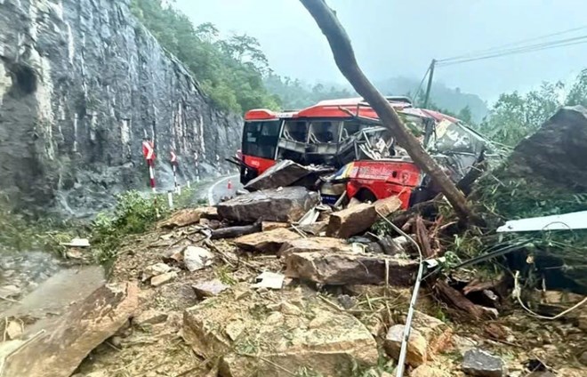
Resonating natural disasters with human impact cause steep slopes to become unstable
Speaking to Lao Dong, Dr. To Van Truong - independent expert on natural resources and environment said that landslides in mountainous areas are mainly affected by nature, but in many areas, human activities have made the situation more serious.
He analyzed that prolonged heavy rains caused the soil to be saturated with water and lost stability. When the water penetration exceeds the load-bearing capacity, the soil structure weakens and slides occur. Recent extreme rains have caused many landslides in the Central region, Central Highlands and the northern mountainous region.
According to Dr. To Van Truong, steep terrain and strong thick layer of rock and soil are natural weaknesses in many areas. Geological cracks, old slides and weak rock foundations are likely to become landslide traps when there is heavy rain or shaking. The decline in carpet and vegetation has caused the soil to lose its fixed root layer, making it easier to wash it away. Climate change has caused more heavy rain and added pressure on steep slopes.
He said that human impact also plays a significant role. Forest reduction, forest land conversion, mineral exploitation and road excavation all change the balanced state of the terrain. Excessive steeping or reducing the ribs causes the flow to change and increases the risk of landslides. Transportation with heavy-duty vehicles also creates shocks that reduce the durability of rocks and soil, especially when the groundwater level is high during the rainy season. Building works at the foot or top of the slope if there is no geological survey will also make the slope unstable.
It is necessary to study each slide block in detail and make a forecast map using artificial intelligence
Speaking with Lao Dong, Associate Professor, Dr. Cao Dinh Trieu - Director of the Institute of Applied Geophysics (Vietnam Union of Science and Technology Associations) commented that to minimize risks, the first thing is to forecast better. According to him, to predict the effectiveness, it is necessary to carefully study each slide block. Each block has a different structure and slipping mechanism, so it is necessary to analyze in detail to know the real risk. When clearly understanding the characteristics of each slide block, the authorities can correctly assess the possibility of slides in extreme weather conditions.
Regarding forecasting, Associate Professor, Dr. Cao Dinh Trieu emphasized that the need to develop a map to predict risks is very necessary. However, to be effective, we must apply artificial intelligence (AI). AI helps analyze large volumes of data including extreme rain, geology, terrain, humidity, slide changes and earthquake data, ... so the forecast map will be more accurate and capable of identifying risks according to many scenarios.
He explained that the forecast map should be divided into 4 levels. The first level is a static forecast map based on geology and terrain. Level two is a dynamic forecast map with additional factors for extreme rain and earthquakes. The third level is a map of the combination when these two agents occur seamlessly. And the final level is the simultaneous forecast map when many factors affect at the same time. This is a complete forecasting model that allows risk assessment according to many situations and helps management agencies make appropriate plans.
Associate Professor, Dr. Cao Dinh Trieu said that Vietnam needs to develop a detailed landslide map for each risk area. When the map is publicly published, people know which road sections are dangerous during the rainy season and proactively avoid them. The government also has a basis to decide to close the road, evacuate or reinforce the steep slope.
He emphasized that to reduce damage, it is necessary to combine solstice research, continuous monitoring and maping using AI technology. When these factors are combined, landslide prevention will meet practical requirements and ensure safety for the community.
Regarding this issue, Dr. To Van Truong said that it is necessary to urgently review high-risk steep slopes so that when there is heavy rain or storm, it can be warned and evacuated promptly.
He proposed reinforcing the steep slope with retaining walls, steel nets, anchors and drainage ditches. Planting trees with strong roots helps restore vegetation and stabilize the soil. Mr. Truong also said that it is necessary to connect meteorological data with soil and terrain moisture to set a warning threshold. Planning for the use of steep land that requires strict control and restoration of protective forests must be considered a fundamental solution.


