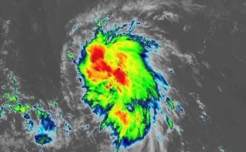
According to the US National Weather Service (NWS), a developing low pressure area off the U.S. East Coast could strengthen into Typhoon noreaster, a type of storm that typically appears in winter with strong winds from the Northeast. Unlike snowstorms, the storm will bring tropical cyclones and heavy rains, threatening coastal areas from North Carolina to New York.
Forecasts show that the storm will reach its peak intensity from the end of the week to early next week, causing large waves, coastal flooding, power outages and traffic disruption. New Jersey declared a state of emergency on October 10.
A coastal low pressure area will rapidly strengthen and significantly affect much of the East Coast, the NWS warned. A series of coastal flood warnings have been issued in many states.
Meteorological experts say that if the wind speed reaches 63 km/h or more, the storm could be officially named by the US National Hurricane Center (NHC). According to the 2025 list, Karen will be the next name for the Atlantic hurricane.
"This storm could become a hybrid, both tropical storm characteristics and high-level cold air," AccuWeather expert Alex DaSilva explained.
The projected path shows the low pressure area moving along the east coast of Florida and gradually moving north, causing heavy rain and strong winds across coastal states before affecting the New England area early next week.
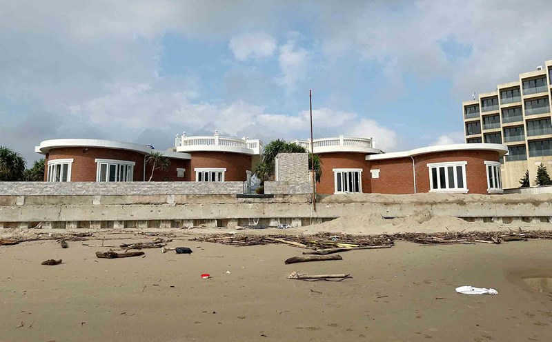
According to the forecast, gusts of wind can exceed 90 km/h, enough to cause trees to fall, damage power lines and works. In addition, high waves and strong offshore flows can cause serious coastal erosion in the Atlantic coastal areas.
This will be a dangerous storm for many coastal communities. The further it moves north, the more it strengthens day by day, meteorologist Bernie Rayno said.
Meteorologists have also warned coastal residents from the Carolinas to New England to closely monitor weather information, prepare for the possibility of heavy rain, high tides and gusts of wind that could last for several days.