On July 23, the Thai Meteorological Department issued an urgent warning about dangerous weather conditions nationwide due to the impact of the circulation of storm No. 3 Wipha.
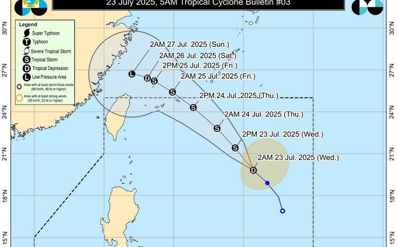
After making landfall in the Xiangkhouang area (Laos), storm No. 3 Wipha weakened into a low pressure area. However, meteorological experts warn that the remnants of the storm still pose a risk of serious natural disasters, especially flash floods, landslides and strong winds at sea.
According to the latest weather forecast, the Northern, Northeastern, Central and Eastern regions of Thailand will continue to have very heavy to extremely heavy rain. Strong gusts of wind may reach level 6-8, concentrated in mountainous and coastal provinces.
Special dangerous areas include:
Northern region: Mae Hong Son, Chiang Mai, Chiang Rai, Lamphun Nan, Phayao, Phrae, Tak, Sukhothai...
Northeast: Nong Khai, Bueng Kan, Udon Thani, Sakon Nakhon, Nakhon Phanom...
Central region: Kanchanaburi, Ratchaburi, Nakhon Sawan...
Eastern region: Nakhon Nayok, Chanthaburi, Trat...
Provinces along rivers, low-lying areas or mountainous areas are warned to be especially cautious about the possibility of rapid flood water, landslides and prolonged rain for many hours.
Not only on land, the offshore situation is also worrying. The southwest monsoon is still active, causing high waves.
Andaman Sea: Waves are 2-4m high, some places are over 4m when thunderstorms appear.
Gulf of Thailand: Waves from 2-3m, may exceed 3m during thunderstorms.
All vessels are advised to stay away from strong thunderstorms. Small ships are absolutely not allowed to go to sea, especially in the waters of Ranong, Phang Nga, Phetchaburi, Prachuap Khiri Khan and the downstream areas of the Gulf of Thailand.
The Thai Meteorological Department recommends that people do not take shelter under big trees, advertising signs, or near rivers and streams in the coming days, and closely monitor weather forecasts through official channels.
Local authorities have been ordered to maintain red alert levels in areas at high risk of landslides and flooding.
On July 23, the Vietnam National Center for Hydro-Meteorological Forecasting also issued a thunderstorm warning, warning of local heavy rain, tornadoes, lightning, hail, and strong gusts of wind in the North, Central Highlands and Southeast.
On the day and night of July 23, the North will have scattered showers and thunderstorms, locally heavy rain (15-30mm, some places over 80mm).
In the afternoon and evening of July 23, the Central Highlands and the Southeast will have showers and thunderstorms, locally heavy rain (10-30mm, some places over 60mm).
On the day and night of July 24, in the North, Thanh Hoa and Nghe An, there will be moderate rain, heavy rain, locally very heavy rain (3070mm, some places over 120mm).
On the day and night of July 25, there will continue to be moderate rain, heavy rain and thunderstorms, locally very heavy (30-60mm, some places over 100mm).
The total rainfall from July 24-25 is generally 60-130mm, in some places over 200mm.
Risk of local heavy rain: July 24 over 90 mm/3h. July 25 at over 80 mm/3h.
During thunderstorms, tornadoes, lightning, hail, and strong gusts of wind may occur.
From July 26, heavy rain in the North, Thanh Hoa and Nghe An will gradually decrease.
Warning level of natural disaster risk due to heavy rain: Level 1
Heavy rain can cause flooding in low-lying areas, urban areas, industrial parks; flash floods on small rivers and streams; landslides on steep slopes.