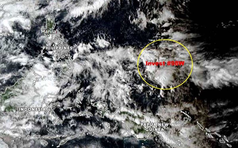
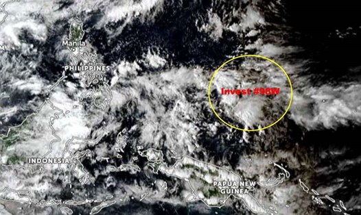
The latest storm and low pressure information from the Philippine Atmospheric, Geophysical and Astronomical Services Administration (PAGASA) said that at 8:00 a.m. on October 30, low pressure 10i was 2,025 km east of southern Mindanao.
This low pressure is outside the Philippine Forecast Area (PAR) and is unlikely to strengthen into a low pressure or tropical depression in the next 24 hours.
Earlier, at 2:00 a.m. on October 30, Depression 10i was 1,525 km east of northeast Mindanao.
Low pressure 10i is not expected to affect the weather in the Philippines for the next 3 days.
PAGASA weather forecaster Chenel Dominguez pointed out that data and analysis show that low pressure 10i is forecast to enter PAR on November 2 or November 3.
The new low pressure is expected to move west-northwest and make landfall in the Eastern Visayas region on November 4.
According to PAGASA's storm and low pressure forecast on October 29, among the low pressure areas that will appear in the upcoming period of November 11, there will be 1 low pressure forming at the southeastern boundary of PAGASA's TCAD forecast area, in line with the appearance of low pressure 10i.
The low pressure is likely to enter PAR during the week of October 29 to November 4. Notably, this low pressure is likely to strengthen into a storm higher than other low pressure areas.
This potential low pressure system could even enter the East Sea, heading towards Vietnam during the week of November 5 to November 11.
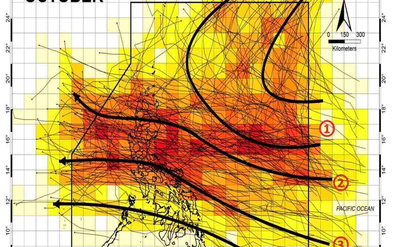
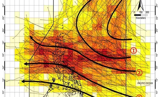
The Intertropical Convergence Zone (ITCZ) is also affecting the Visayas, Mindanao, Bicol and Mimaropa regions (Mindoro, Marinduque, Romblon and Palawan), according to the Philippine National Weather Service. In these areas, the sky is cloudy, with scattered rain and thunderstorms.
Meanwhile, the northeast monsoon, amihan, is likely to affect Batanes, Cagayan, Apayao and Ilocos Norte. These areas are recording cloudy weather and are forecast to have rain in the next 24 hours.
In addition to the above weather systems, wind shear, where hot and cold air converge, is expected to cause scattered rain and local thunderstorms in the urban areas of Manila, Calabarzon (Cavite, Laguna, Batangas, Rizal and Quezon), Aurora and Isabela.
The weather forecast for the remaining areas of Luzon is cloudy to cloudy, with scattered showers and thunderstorms.