The latest storm and low pressure information from the Philippine Atmospheric, Geophysical and Astronomical Services Administration (PAGASA) said that new low pressure LPA 07j was detected outside the PAR on the morning of July 31.
At 8:00 a.m. on July 31, this low pressure near the East Sea was 1,020 km northeast of Northern Luzon, Philippines.
The Philippine weather agency added that low pressure LPA 07j is likely to strengthen into a tropical depression in the next 24 hours.
Previously, PAGASA weather forecasters warned that some areas in Luzon as well as some areas in Visayas and Mindanao may have showers on July 31 due to the southwest monsoon, or habagat.
Weather improvements in Metro Manila, Bicol region, Calabarzon (including Cavite, Laguna, Batangas, Rizal and Quezon) and Mimaropa (including Occidental Mindoro, Oriental Mindoro, Marinduque, Romblon and Palawan).
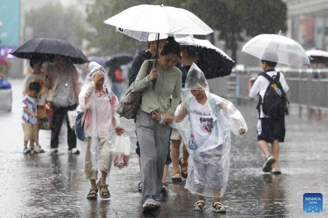
The recent weather in the Philippines has been affected by storms Crising (international name: Wipha), Dante ( francisco) and Emong (Co May), along with the southwest monsoon. The storms and heavy rains caused by the southwest monsoon have claimed the lives of 37 people as of July 31.
A new low pressure near the East Sea LPA 07j appeared in the context of Typhoon Co May just making landfall in China. According to the Shanghai Central Meteorological Observatory, China, on the afternoon of July 30, Typhoon Co May made its second landfall in Shanghai City after making landfall in Zhejiang Province on the morning of July 30. The center of Typhoon Co May made a second landfall on the coast of Phung Hien District, Shanghai at around 4:40 p.m. At the time of landfall, the maximum wind speed near the center of the storm was 82 km/h.
Currently, the western Pacific basin is also recording additional Typhoon Krosa and another low pressure, Invest 92W. Typhoon Krosa is 661 km south-southeast of Yokosuka, Japan. The storm has been moving north-northwest at a speed of 13 km/h for the past 6 hours.
Meanwhile, low pressure Invest 92W is in the western Pacific Ocean. Forecasters say the low pressure is unlikely to strengthen into a tropical storm in the next 24 hours.
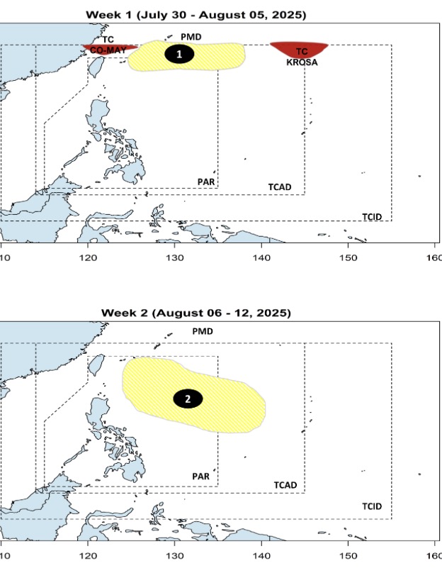
The appearance of low pressure near the East Sea LPA 07j is also in line with the forecast of Philippine forecasters in recent days.
According to PAGASA's July 30 forecast, a low pressure near the East Sea is expected to form within the northern boundary of PAGASA's PMD forecast area during the week to August 5. This location coincides with the appearance of LPA 07j.
Also according to PAGASA's storm and low pressure forecast, it is expected that from August 6 to August 12, another new low pressure near the East Sea will appear at the eastern boundary of PAGASA's PAR and TCAD forecast areas. Similar to LPA 07j, this second low pressure is unlikely to strengthen into a storm during the forecast period.