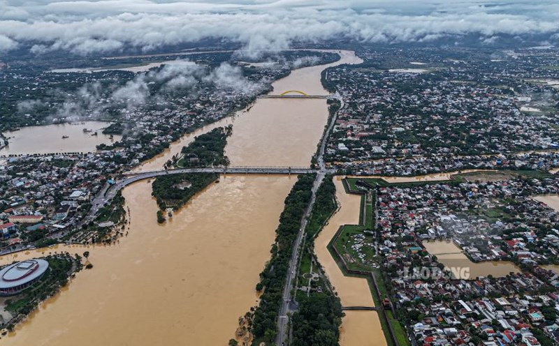
On the morning of November 1, the Ha Tinh Provincial Hydrometeorological Station issued a flood warning bulletin on the main rivers, saying that the water level is rising rapidly, posing a potential risk of flooding in many areas.
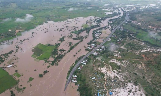
National Highway 1A, Gas Station 2018, Nghi Xuan Commune (Xuan Lam Commune, old Nghi Xuan District) was flooded, the authorities advised drivers not to travel but to follow the bypass to ensure safety.

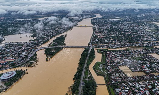
According to data recorded at 7:00 a.m. on November 1, the water level on the Ngan Sau River at Chu Le station reached 13.28m (0.72m below alert level 3), at Hoa Duyet station 7.51m (roughly 1); Ngan Pho River at Son Diem station reached 8.21m (1.79m below alert level 1); La River at Linh Cam station 1.92m 2.58m (down from alert level 1). Dong Hai spillway (Huong Pho commune) is currently flooded, the authorities have put up signs prohibiting people and vehicles from passing.
In the next 12 hours, floods in the upstream of the Ngan Sau River will continue to rise, likely reaching alert level 3; from the next 1224 hours, the water level may exceed alert level 3. It is forecasted that by November 5, the flood peak on the Ngan Pho River and the upstream of the Ngan Sau River will be at alert level 3 and above alert level 3, the downstream of the Ngan Sau River will be at alert level 2, the La River will reach alert level 1 - alert level 2.
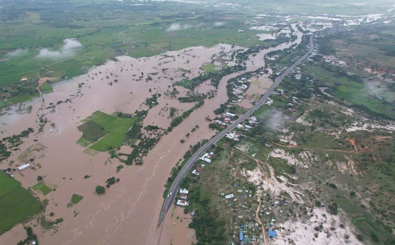
Ha Tinh Hydrometeorological Station warns: prolonged heavy rain causes the risk of flash floods, landslides in mountainous areas, deep flooding in low-lying areas and urban areas to increase; the level of natural disaster risk due to floods is determined at level 2.
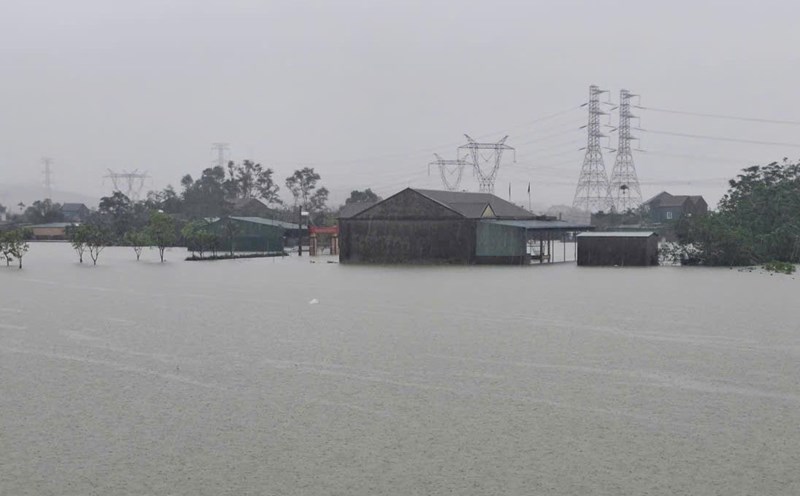
At 8:00 a.m. on November 1, the water level on the Ngan Sau River at Chu Le station was 13.29 m (0.71 m), 0.71 m below alert level 3; the amount of rain measured at Huong Khe Meteorological Station was 329.3 mm. Many roads, bridges and houses in the old Huong Khe area are partially flooded.
In Huong Pho commune, 20 households were flooded, 6 cultural houses were flooded; many roads such as DH56, commune 01, Bac Son village, Pho Cuong, Shanghai... were cut off. In Ha Linh commune, some villages were flooded, 22 roads could not be used. The flood avoidance route from Ho Chi Minh road (through Huong Binh commune) to Tan Son village subsided, about 46m long.
At Ho Ho Hydropower Plant, by 7:00 a.m. the same day, the upstream water level was 65.96 m; the overflow water was 383 m3/s. The upstream area is still experiencing very heavy rain, and the water flow to the lake is forecast to continue to increase rapidly in the coming hours.
Local authorities are closely monitoring developments, preparing plans to relocate people in dangerous areas and warning people not to be subjective when passing through flooded areas, especially National Highway 1A through Bac Hong Linh.