According to the flood warning bulletin on the Yen River issued at 9:00 a.m. on July 22 by the Thanh Hoa Provincial Hydrometeorological Station, at 07:00 a.m. on July 22, the water level on the Yen River at the Chuoi Hydrological Station was +0.72m (under BDI is 1.28m) and is continuing to rise; the water level of the Yen River at the Chuoi Hydrological Station is likely to reach Alert level I (+2.00m) at around 12-14 hours on July 22.
It is forecasted that from July 22 to July 25, floods on rivers will continue to rise with flood amplituffs at upstream stations from 3-6m, downstream stations from 2-4m.
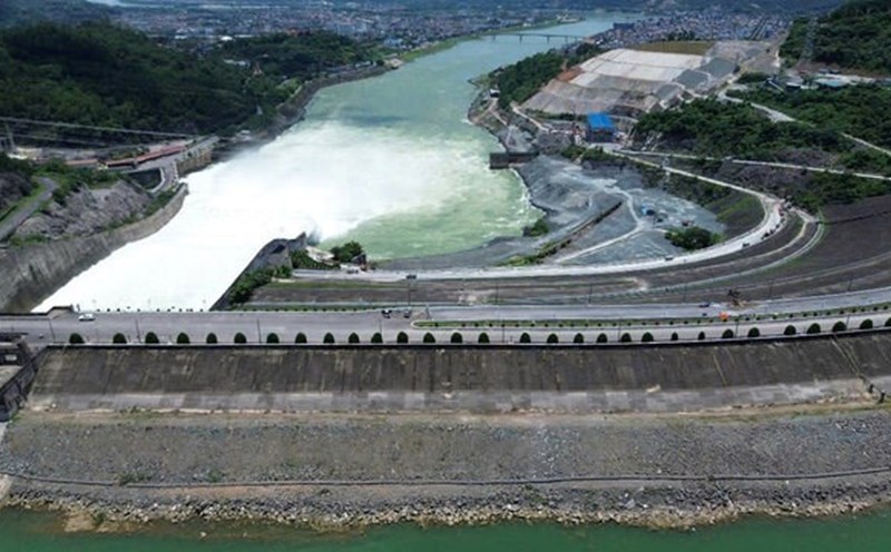
The peak flood level of stations in the upper reaches of the Ma River, the Buoi River and small rivers is likely to be at level BD1 - BD2, with some places above BD2. The downstream stations of the main line fluctuated below level 1. Beware of high risk of flash floods and landslides in mountainous areas.
The Steering Committee for Disaster Prevention, Control and Control has issued an alert I on the Yen River at the Chuoi Hydrological Station, requesting the Chairmen of the People's Committees of the communes and wards: Nong Cong, Thang Binh, Truong Van, Trung Chinh, Thang Loi, Tuong Linh, Quang Chinh, Tien Trang, Quang Yen, Quang Ngoc, Ngoc Son, Cac Son and Dong Son Ward to immediately deploy dike patrols and protection according to the alert levels.
Organize inspections, reviews and be ready to deploy plans to ensure the safety of dyke works; especially key dyke points and culverts under the dyke in the area.
Proactively deploy plans to evacuate people living in riverbank areas.
Organize a serious 24/24h on-duty, closely monitor the developments of rain and floods to be ready to handle situations from the first hour; promptly inform and report to the Standing Office of the Provincial Command for Natural Disaster Prevention and Control and the Standing Office of the Provincial Command for Civil Defense, Natural Disaster Response and Search and Rescue.