Low pressure near the East Sea

Storm No. 2 has just left the East Sea, and a low pressure has reappeared near the Philippines
|
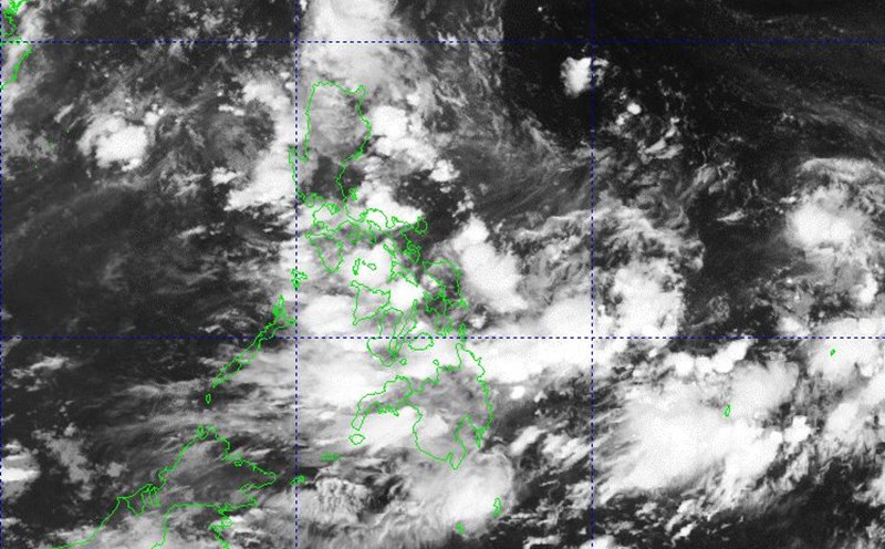
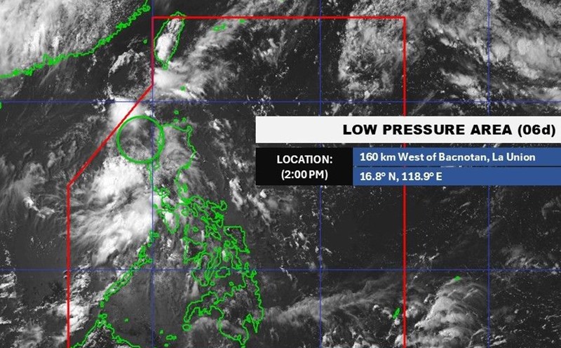
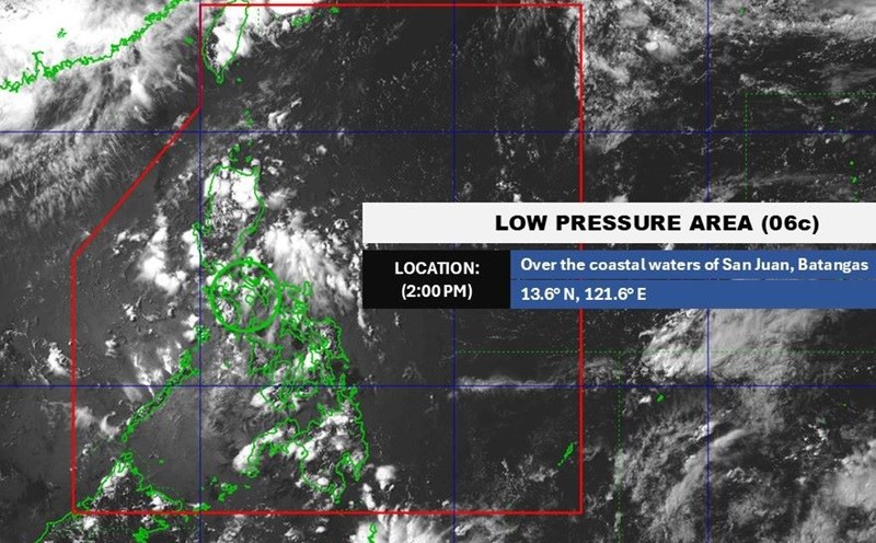
Just 2 days after Typhoon No. 2 left the East Sea, a new low pressure area appeared near the Philippines on the morning of July 8.

Low pressure forecast to join low pressure near the East Sea right after storm today
|
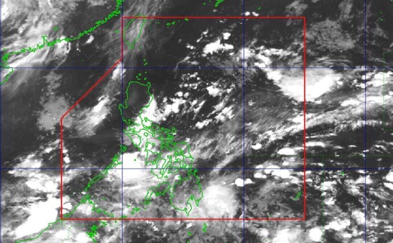
2 low pressure areas near the East Sea are forecast to form right after Typhoon Today, the fourth typhoon this year in China.

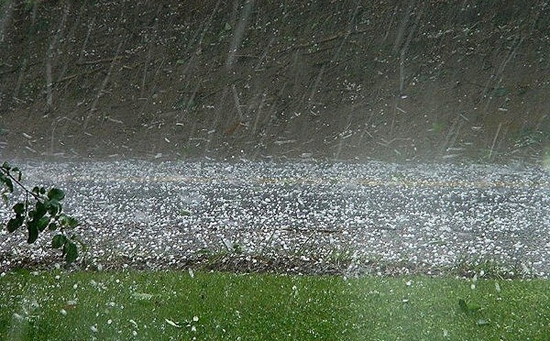
Double low pressure lurks near the East Sea, heavy rain, severe flooding
|
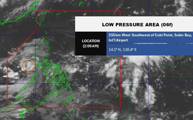
The low pressure is moving close to the east coast of Luzon Island (Philippines) and will almost certainly strengthen into a tropical depression, causing heavy rain and flooding.
4 low pressure areas near the East Sea are expected to strengthen, heavy rain is forecast to fall from today
|
A low pressure area forming near the East Sea is forecast to cause heavy rain with an intensity of over 100mm in 3 hours, accompanied by tornadoes, hail, and strong gusts of wind.

Low pressure near the East Sea may form from this week, this year's storm is likely to make landfall
|
The low pressure may form near the East Sea from this week with a very wide area of influence. Forecasters also said that this year's storm will easily make landfall.

Three low pressure areas waiting to strengthen into storms in the storm center near the East Sea, forecast of heavy rain and thunderstorms
|
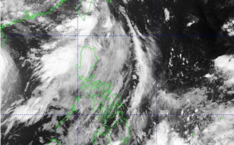
storms near the East Sea are heating up every day with 3 low pressure areas operating at the same time.

New low pressure warning near the East Sea causes heavy rain this weekend
|
According to the latest storm/low pressure forecast, a new low pressure area is likely to form near the East Sea this weekend, which could cause widespread heavy rain in many areas.
New low pressure moves near the East Sea, high risk of strengthening
|
On the morning of June 24, a new low pressure is moving closer to the East Sea, with a high possibility of strengthening into a tropical depression.
Low pressure may strengthen into a storm about to appear near the East Sea
|
It is forecasted that there will be 2 low pressure areas near the East Sea, one of which is likely to strengthen into a storm.
Forecast of the time of a new low pressure near the East Sea
|
The low pressure near the East Sea is forecast to appear in the second half of June, according to the latest forecast of the Philippine weather agency.
New low pressure suddenly approaches the East Sea, forecast heavy rain, landslides
|
A weak low pressure suddenly appeared and moved near the East Sea from the afternoon of June 18, causing widespread heavy rain, many places with a high risk of flash floods and landslides.
New low pressure development near the East Sea causes great concern
|
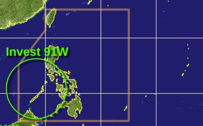
The new low pressure near the East Sea is currently over the Philippine waters and is being closely monitored by typhoon forecasters.
The low pressure area in the East Sea may strengthen into a tropical depression, requiring proactive response
|
The Ministry of Agriculture and Environment recommends response when the low pressure area in the East Sea may strengthen into a tropical depression.
Low pressure appears near Truong Sa, causing heavy rain, may strengthen
|
A low pressure area appeared off the coast of the Philippines, east of Truong Sa archipelago, many areas were affected by heavy rain.
The direction of the low pressure near the East Sea, forecast of rain for many days to come
|
On the morning of May 22, the low pressure near the East Sea left the Philippine Forecast Area (PAR) but still caused heavy rain in many areas.